Direct answer
Open and View a GeoTIFF Online
A first-look workflow for opening a .tif or .tiff file locally in the browser and deciding whether you need full GIS software.
Reviewed:
To view a GeoTIFF online, open the file in a browser viewer, check its dimensions, band count and recognized coordinate reference metadata, choose RGB or grayscale bands, and adjust the display range only if needed. Keep the original file: an exported JPG or PNG is a visual preview, not a georeferenced replacement.
On this page
Check the file and the privacy model
Confirm that the file is a TIFF or GeoTIFF from a source you trust. GeoTIFF Viewer reads file contents locally in the browser and does not upload them to the site server.
The current limits are 128 MiB, 16 million pixels in the original raster, 96 MiB of decoded values and eight bands. Unsupported layouts may still require desktop GIS.
Open the file and read the first facts
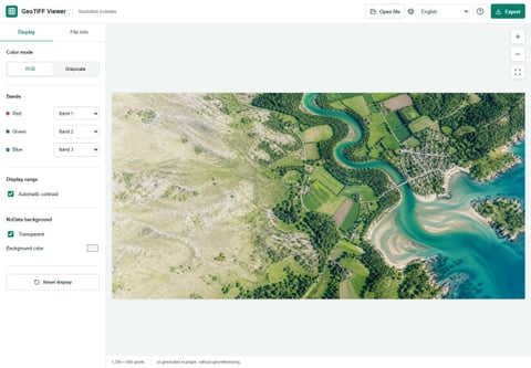
Drag the file into the viewer or use the open control. Check width, height, band count, data type and any recognized CRS or geographic bounds before changing the display.
A .tif extension alone does not prove that valid georeferencing is present. Missing metadata means absent or unrecognized, not automatically “WGS 84.”
Choose RGB or grayscale deliberately
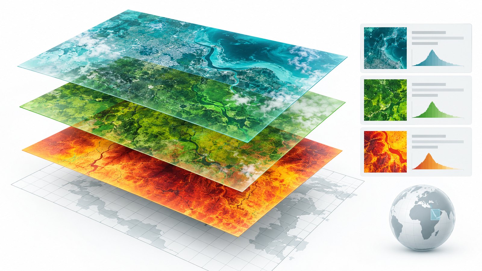
Use grayscale for a single useful band. For a color image, assign documented bands to red, green and blue; band numbers are file-specific and do not have one universal meaning.
If the source provider did not document the bands, the viewer cannot infer their scientific meaning.
Adjust the display, not the source
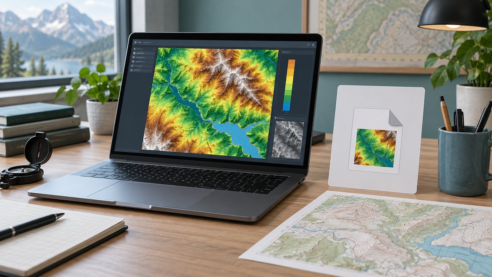
A stretch maps source values to visible tones and can reveal a dark or washed-out raster. It does not repair missing pixels, validate measurements or change the original TIFF.
Compare display settings carefully: different stretches can make unchanged numeric data look different.
Inspect coordinates and metadata cautiously
Recognized CRS, bounds and cursor coordinates help with orientation. They do not prove the file is correctly georeferenced or authorize boundary, engineering or survey conclusions.
Open the source in QGIS or another GIS when you need reprojection, overlays, measurements or a placement check against reference data.
Export only what a preview can carry
Export JPG or PNG for communication. The output is the rendered full preview, may be downscaled, and does not retain georeferencing, original bands or scientific values.
Archive the original GeoTIFF and describe the export as a preview.
FAQ
Does the file leave my device?
File contents are read in the browser and are not uploaded to the site server. Ordinary hosting requests still occur when you open the website.
Why is the image black?
The selected band or display range may not match the data. Try a documented band and an appropriate stretch.
Can I edit or reproject the GeoTIFF?
No. The viewer renders a preview; use GIS software for editing, reprojection and analysis.
Will exported PNG or JPG keep coordinates?
No. The export is an ordinary rendered image without the original georeferencing.
Technical references
Use the tool as a first step
Inspect the file locally, then move to GIS when the question requires analysis, reprojection or measurement.