Start here
What is a GeoTIFF? A beginner's guide to your first .tif file
Understand the file you received, what the viewer does and when you need a different tool.
Read guideReceived a TIFF and not sure what to do next? Start with the basics, solve a display problem or find a workflow for your field.
Understand the file you received, what the viewer does and when you need a different tool.
Read guide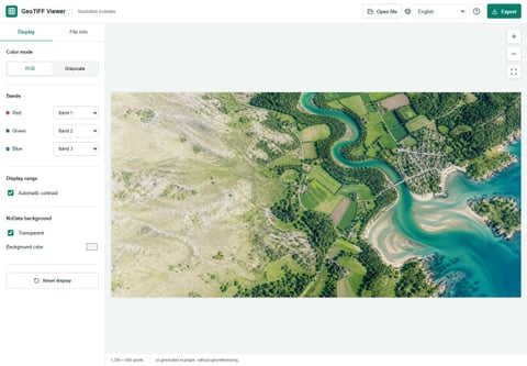
Check the display settings before assuming your TIFF is empty or damaged.
Read guideMake an easy-to-share picture while keeping your original geographic data intact.
Read guideBuild a short lesson around seeing, describing and explaining a raster image.
Read guide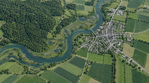
Create a communication preview from a supported extract, not a substitute for survey QA.
Read guideMake imagery understandable without turning display colors into unsupported agronomic conclusions.
Read guideTurn an existing raster into a readable figure without losing track of what its values mean.
Read guideGive stakeholders an accessible picture while keeping authoritative geometry in GIS or CAD.
Read guideAI-generated illustration of a possible setting, not a real survey or satellite observation. Actual viewer interface in English, displaying the AI-generated demo. The demo has no geographic reference.
Open a supported TIFF locally, adjust its display and save a preview. Your file contents are not uploaded.