For first-time users
What is a GeoTIFF? A beginner's guide to your first .tif file
Understand the file you received, what the viewer does and when you need a different tool.
Reviewed:
A GeoTIFF is a TIFF image with information that connects its pixels to geographic space. This site helps you view a file you already have; it does not search for satellite images.
On this page
Think of a picture with a geographic address
An ordinary picture tells a viewer which colors to display. A GeoTIFF can also describe where its pixels belong on the Earth through embedded geographic metadata. GIS software can use that information to place it alongside other geographic data. The .tif or .tiff extension alone does not prove that a file contains valid georeferencing.
The pixels need not be a photograph. A raster is a grid of cells; those cells might hold color channels, elevation or another measured or calculated quantity. A band is one layer of values in that grid. This is why a geographic TIFF can behave differently from a phone photo.
Reference: OGC: GeoTIFF standard
Who would use a viewer like this?
Imagine a lecturer sends you a raster for an assignment, a survey team delivers an orthomosaic, or a colleague supplies an environmental data extract. You want to see what is inside and make a picture for a presentation, without first setting up a GIS project. That is the job this viewer is designed for.
- Have a file: inspect its appearance, bands and available metadata here.
- Need a file: use an imagery catalog or ask the data provider first.
- Need measurements or map overlays: use GIS software and the original data.
Open your first file
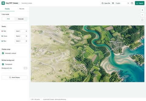
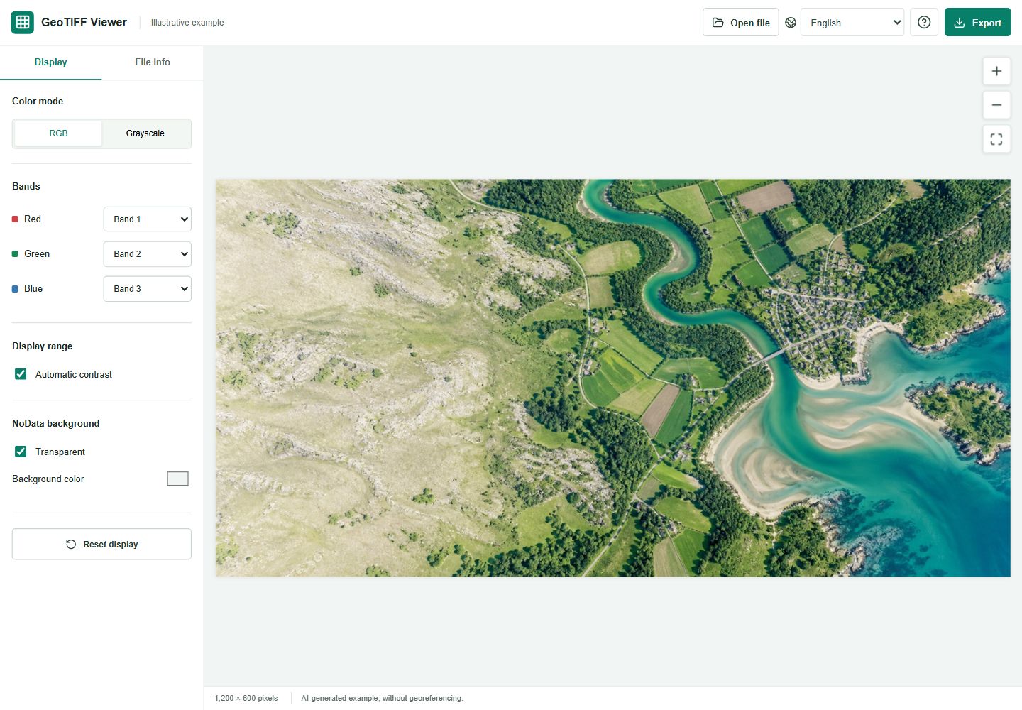
Choose Open file, or drop a supported TIFF into the viewer. Try the bundled example first if you are learning the controls; it is an AI illustration, not a geographic dataset. Your own file is read in the browser and its contents are not uploaded.
Open File information and check the dimensions, band count and any coordinate reference information. Missing metadata means it was not provided or recognized, not that the tool has located the image for you. Then use the display panel to choose RGB or grayscale and adjust the contrast if needed.
A clearer picture is still just a display
Changing the display does not rewrite your original TIFF. It changes how values are mapped to visible colors. You can export that rendered preview as JPG or PNG, which is useful when another person only needs to see the picture.
Keep the original separately. Our exported preview does not carry the original bands, scientific values or geographic reference, and it may be smaller than the source image. It is not a replacement for the data.
When to move to GIS software
Use QGIS or another suitable GIS application when you need to crop a large raster, align layers, change a coordinate system or perform analysis. This viewer does not repair damaged TIFFs or support every TIFF layout. If a file is rejected, check the stated limits and ask for a smaller standard RGB or grayscale version, rather than renaming its extension.
Reference: QGIS: raster display and contrast settings