For planners, engineers and project coordinators
Using GeoTIFF previews in planning and engineering discussions
Give stakeholders an accessible picture while keeping authoritative geometry in GIS or CAD.
Reviewed:
A preview helps people discuss the same image. It does not establish boundaries, validate coordinates or supply engineering measurements. Keep those tasks in the authoritative GIS or CAD project.
On this page
Use a preview to make the conversation easier
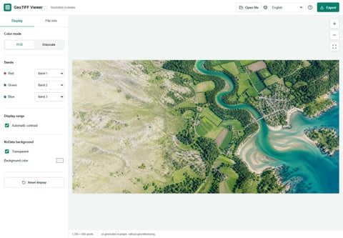
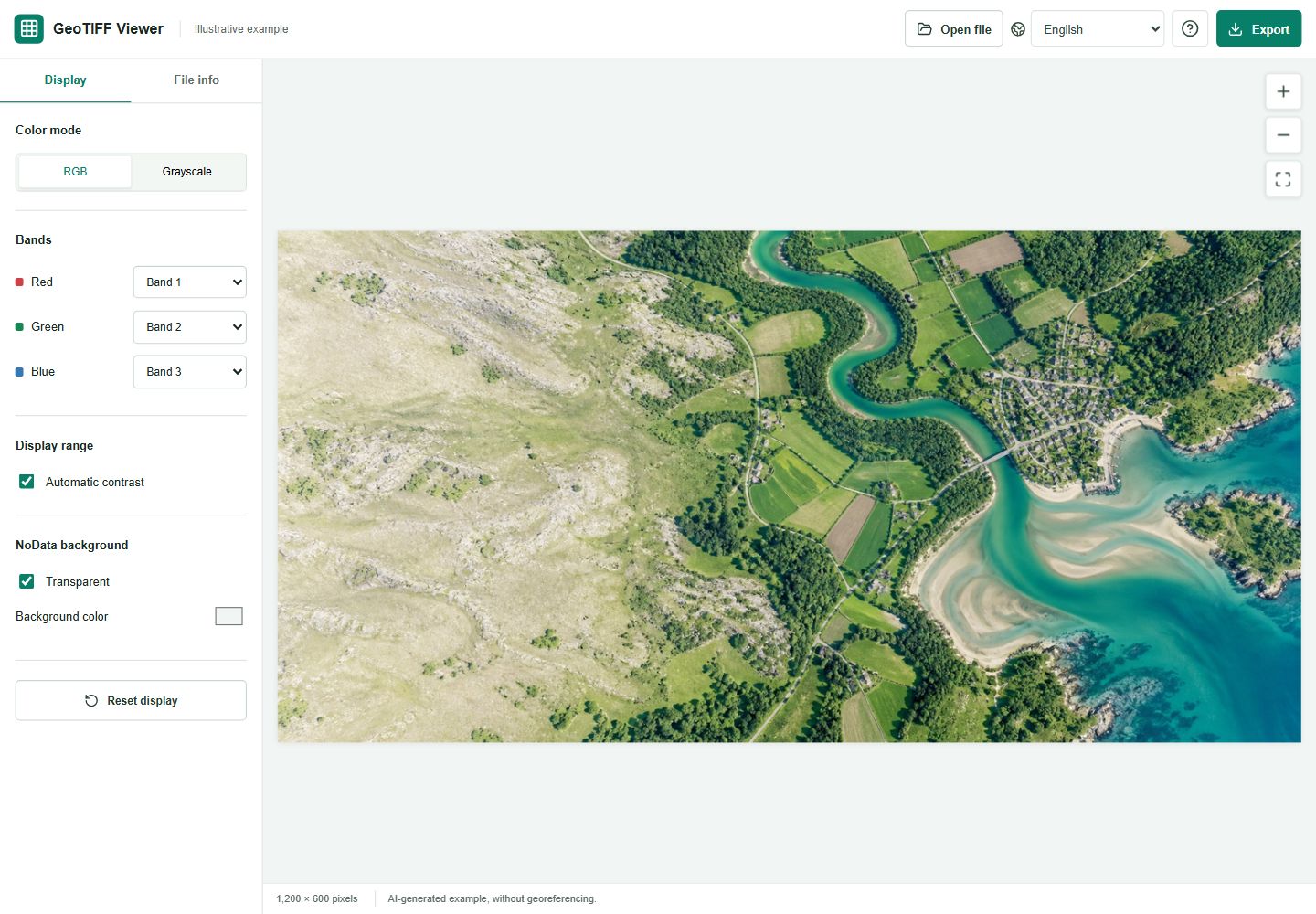
In a project meeting, not everyone needs to manipulate a raster. A coordinator might share a small image extract so colleagues can recognize the area being discussed. This viewer can help inspect that file and prepare an ordinary picture for a document.
This is a proposed communication workflow, not an engineering validation procedure. The exported image should be labeled as a preview, especially when it appears beside authoritative drawings.
Check identity before appearance
Compare the source filename, date supplied by the provider, dimensions and recognized CRS information with the project records. A GeoTIFF can contain geographic metadata, but this viewer does not verify that the data is correctly placed on the ground.
If the file lacks CRS information, do not assign a location based on visual similarity. Ask the supplier or inspect the source in a suitable GIS environment.
Reference: OGC: GeoTIFF standard
Create a communication copy
Choose a supported extract small enough for browser processing, then inspect the full image before exporting.
- Use the supplied RGB or grayscale display appropriate to the data.
- Keep contrast changes modest and record them when they affect interpretation.
- Export a JPG or PNG and inspect it at the intended presentation size.
- Add the project reference, source date and a preview-only note in the document.
Do not use the preview for geometry
The tool does not overlay parcels, align CAD drawings, reproject rasters, measure distances or calculate areas. Its JPG and PNG output has no georeferencing and may be downscaled. Measuring a screen image or using its visible edges as a boundary would exceed what it can establish.
For design or compliance work, use the approved source data, appropriate software and the required professional checks. A clear-looking picture does not verify a coordinate system or positional accuracy.
Make the handoff unambiguous
Keep a communication copy and an authoritative-data copy in clearly named locations. Tell recipients which one can be viewed casually and which one should be loaded into the project. Include provenance and any restrictions from the original provider.
If someone needs a different extent, a larger print, a legend or an annotated map layout, return to GIS or CAD. Repeatedly enlarging a browser preview will not create the missing resolution or geographic context.