For drone and surveying teams
Previewing drone orthomosaics before sharing a deliverable
Create a communication preview from a supported extract, not a substitute for survey QA.
Reviewed:
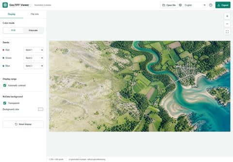
This viewer is useful for a quick visual check of a small supported orthomosaic or extract. It does not process drone photos, verify survey accuracy or replace the original georeferenced deliverable.
On this page
Choose the right part of the handoff
A client may need a quick visual preview before another team loads the deliverable into GIS or CAD. Use a small, supported RGB or grayscale TIFF for that conversation. Many full orthomosaics exceed browser limits, so create an extract or a deliberately reduced copy in your existing processing software.
Preserve the original independently. A file that loads successfully here has passed a viewing step, not an accuracy assessment.
Inspect what is actually being displayed
Open File information and compare dimensions, bands and any recognized CRS code with the delivery notes. A matching code is one consistency check, not proof that the coordinates are correct. The current preview does not overlay the image on a reference map.
- Check that the expected area is present in the full preview.
- Look for obvious empty borders or unexpected channel assignments.
- Distinguish a reduced preview's softness from the quality of the original raster.
- Record any suspected issue and its approximate image location for follow-up in the source project.
Do not approve survey quality from a preview
Ground-control residuals, positional accuracy, elevation accuracy and mosaic quality need the original project, suitable checks and professional judgment. This viewer has no measurement or ground-control validation tools.
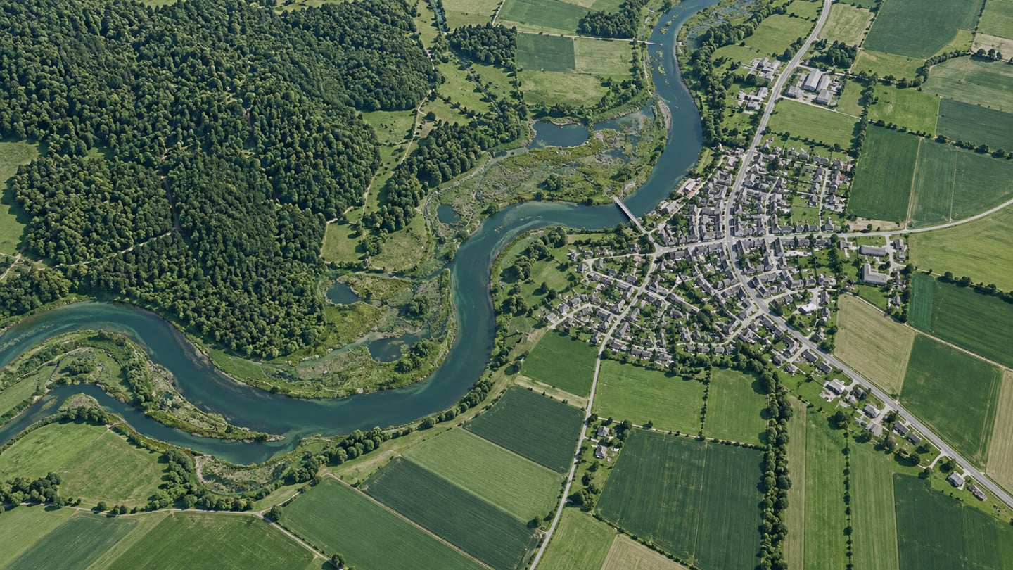
If a suspicious feature appears near a seam or boundary, inspect it at source resolution in the processing or GIS application. A downscaled browser picture may hide defects or create display artifacts of its own.
Prepare a clearly labeled client image
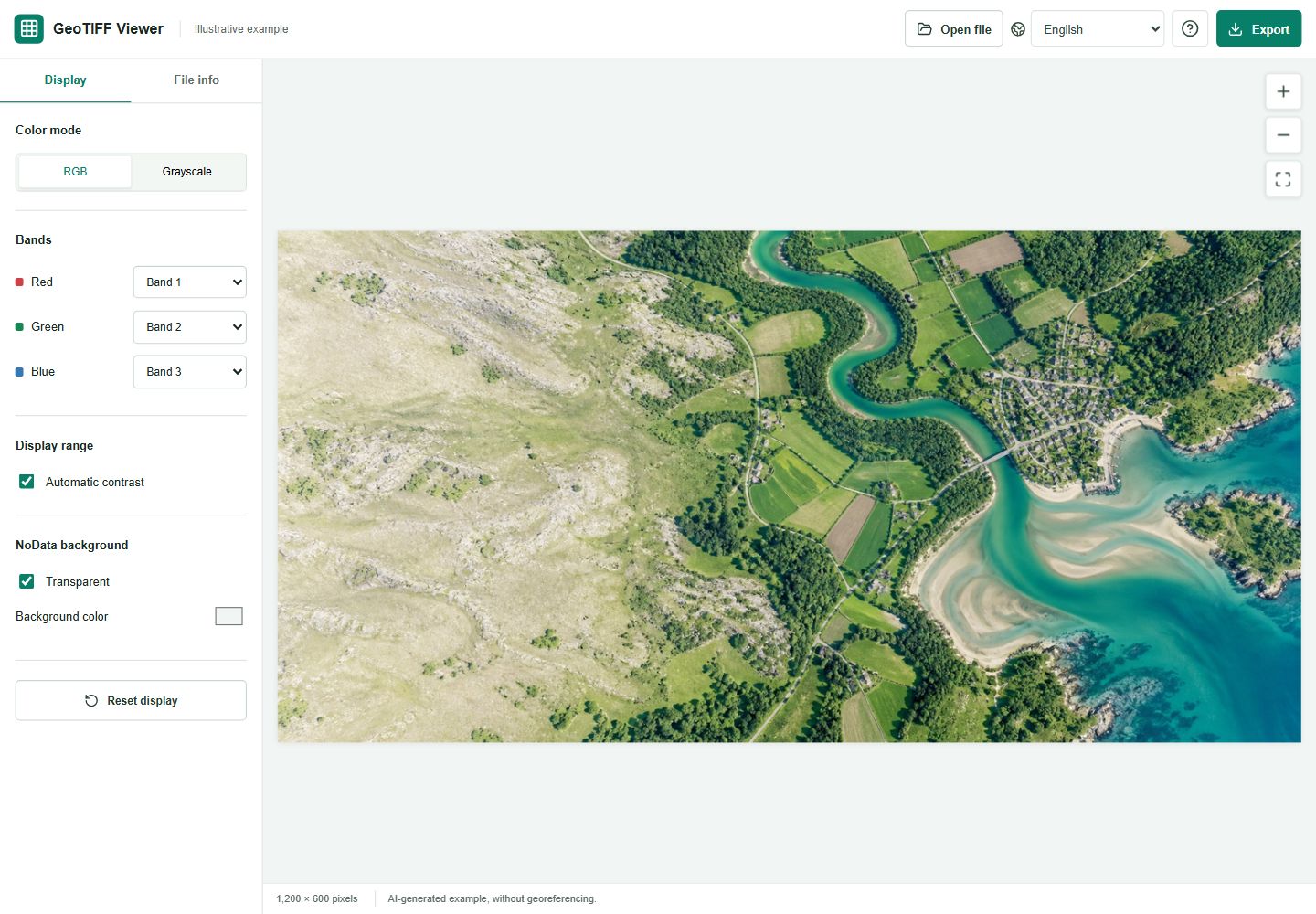
Choose the intended RGB assignment, adjust the display only as necessary and export PNG or JPG. Include project identifier, source date, extract extent and a note that it is a visual preview. Add those annotations in your report or document editor; the viewer does not stamp them automatically.
An exported preview cannot be used as a georeferenced handoff. Workflows that create a JPG with geographic sidecar information are separate from this tool's plain-image export.
Reference: PIX4D: a separate workflow for georeferenced JPG files
Hand over both files with different labels
Deliver the original GeoTIFF and its documentation for professional use. Supply the preview as a convenience for stakeholders who only need to see the area. Avoid names that make the JPG sound like the authoritative survey.
If the TIFF exceeds the file, pixel or decoded-data limits, prepare a smaller version rather than repeatedly retrying it. An unsupported orientation or palette layout also needs preparation outside this viewer.